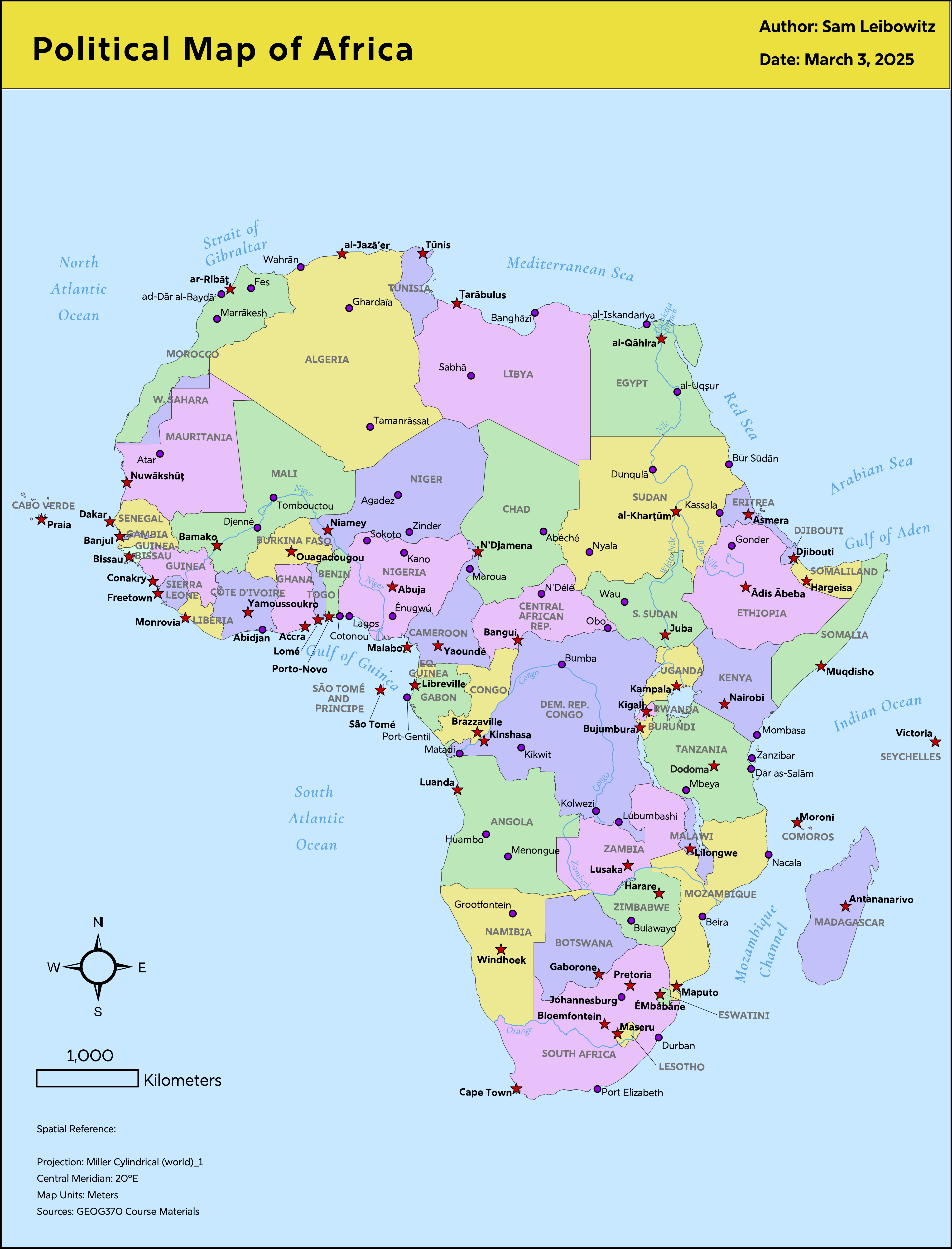
The main purpose of this map (Lab #2 of GEOG 370) was to cram a high amount of detail into the space, while maintaining a clean and consistent appearance. I gained more experience in Illustrator, like using the Magic Wand tool to experiment with color palettes for the countries. It was often difficult to decide where to position a label relative to its designated point: too far, and it would not belong to that point; too close, and it would no longer look neat; on top of surrounding lines, and the appearance of some letters would become muddled.